The Untold Story of Iowa’s Ag Drainage System

Post originally appeared on Darcy Maulsby & Co blog by Darcy Maulsby

If there were a “Mysteries at the Museum” television series geared towards agriculture, this item would be ideal to lead in a segment. It’s hollow, it’s made of clay, it contains a message from the past, and it was buried in the ground for decades.

It’s a unique clay drainage tile dated 1885, and it’s on display in the Greene County Historical Society’s museum in Jefferson. The message carved around the exterior of the tile reads, “We the men who started the tile work did so with a motive to benefit the town and country. Signed T.P. LaRue of Scranton, Iowa.”

An interpretive sign by the tile shares a quote from S.J. Melson, a former Greene County engineer, to explain the curious item’s history. “This tile was placed into my hands by Carl Paup on February 1968. Mr. Paup stated the tile was unearthed and has lasted for many years on the property owned and operated by Harrison Paup of Kendrick Township, Greene County, Iowa.”

That tile reflects a major part of Iowa’s agricultural history that has been buried, literally, for generations, yet this history continues to influence farming methods, especially in the prairie pothole regions of north-central Iowa and northwest Iowa.

“In general, ag drainage in Iowa got its start around 1880, but this varied a lot, depending on the region,” said Joe Otto, a historian and Ph.D. candidate at the University of Oklahoma who works as a communications specialist with the Iowa Water Center at Iowa State University.

The first documented case of a drain tile being installed in Iowa occurred in 1868 on the grounds of Iowa State in Ames, Otto added. Before that, some of the first drainage ditches were dug in the 1850s along the Mississippi River in Des Moines County, just upstream from Burlington, so farmers could help protect themselves from flooding. One of these farmers, John Williams, was later elected to the state legislature and helped get the state’s first drainage laws passed in the 1870s, Otto said.

Drainage affected Iowa’s settlement patterns
Ag drainage was such a major issue in the 1800s that it impacted Iowa’s settlement. “Iowa wasn’t settled east to west, but from the bottoms up to the top of the state’s many river valleys,” Otto said. “Atop the river valleys were the flat, glaciated prairies of north-central and northwestern Iowa. These were settled and farmed starting in the 1870s and 1880s – several decades after farming started along the Mississippi.”

ag-drainage-tile-exhibit-jefferson-jim-andrew-dec-31-2018-low-res
Jim Andrew revisits the exhibit designed by his father, James H. Andrew, a long-time Greene County farmer. This Farm Drainage Tiling exhibit is housed at the Greene County Historical Society’s museum in Jefferson, Iowa.

The region’s extensive swamps and sloughs were remnants of the last glacier, which loosened its icy grip on Iowa approximately 12,000 years ago. “There was a lot of water and nowhere for it to go,” Otto said. “Drainage ditches had to be dug and tile lines had to be laid before the sloughs and swamps of Iowa could be farmed. This started around 1880 and picked up speed in the early 1900s as drainage technology became more advanced.”

Ag leaders like Civil War veteran and pioneer farmer Jesse Allee, who settled in the Newell area in 1871, knew ag drainage would be essential to the development and prosperity of the region. “He was far-seeing with the unshakable belief in the future of the community’s farm land,” stated the 1969 Newell centennial history book on display at the Allee Mansion south of Newell. “Jesse worked hard educating the public to the necessity of proper drainage if this area was to be a leader in agriculture.”

Settlers in Greene County faced a similar situation. “By 1880, many landowners realized underground drainage tile was needed to remove the excess water,” wrote James H. Andrew, a long-time Greene County farmer who created the Farm Drainage Tiling exhibit at the Greene County Historical Society’s museum in Jefferson before he passed away in 2014.

As more settlers moved into Iowa and demand for tile drainage grew, tile kilns and factories popped up across the state, Otto noted. Greene County, like many Iowa counties, had multiple firms manufacturing clay tile. These businesses used locally-sourced clay, including the Jefferson Cement Products Co., which was located just north of the Greene County Fairgrounds and operated until about 1930, and Lawton and Mass, which produced concrete tile at Cooper for a number of years, starting in 1895.

“There were also small machines made for farmers to mix concrete and scoop it into a manually-cranked device that used metal forms to make various sizes of tile,” wrote Andrew, who was known as “Mr. History.” “They advertised you could make your tile at home for half the cost of commercial tile. But it’s doubtful if this was very successful, since the proper steaming and curing of concrete tiles is important.”

Drainage districts take shape
Ag drainage in Iowa took a major leap forward in 1904, when state legislation provided for the formation of drainage districts. “Farmers could always drain their own lands if they wanted to, but to truly manage drained water meant cooperation with your neighbors,” Otto said.

A group of farmers could petition for a drainage district. An engineer would survey the land to establish the boundaries of the area, and a feasible drainage plan would be developed.

If approved, a contract would be drawn up, with the cost paid by assessing each landowner for his or her fair share, considering his needs and the acres involved. The county acted as the administrator of the drainage district and assessed taxes against the land, as needed, to pay for the initial cost and later for the maintenance of the drainage district. Many times, the money would be borrowed by issuing bonds, and the landowners would make payments on a 10-year plan, Andrew noted.

“The drainage district plan provided the larger tile needed for the main arteries of the system,” Andrew wrote. “Individual landowners were responsible for installing and paying for the lateral tile lines installed on their respective farms to complete the drainage plan.”

From 1904 to 1919, an average of 10 new drainage districts were created per year in Greene County. “That’s a new district about every five weeks,” Andrew wrote.

The 1910s became the golden age of ag drainage when most of Iowa’s public drainage systems were built, Otto added. “By 1912, Iowa’s farmers had spent more money on drainage then the U.S. government spent to build the Panama Canal.”

A Greene County drainage district created in 1916 to drain 998.7 acres using approximately 3.5 miles of tile ranging in size from 10 inches to 22 inches cost of $9,135, [more than $218,640 in today’s dollars], said Michelle Fields, drainage clerk for Greene County. “A drainage district created and installed in 2013 drained 865.5 acres using around 2.38 miles of tile ranging in size from 15 to 24 inches at a cost $532,500,” she added.

clay-tile-jim-andrew-holding-it-low-res
This unique clay ag drainage tile dated 1885 is on display in the Greene County Historical Society’s museum in Jefferson. The message carved around the exterior of the tile reads, “We the men who started the tile work did so with a motive to benefit the town and country. Signed T.P. LaRue of Scranton, Iowa.”

Recalling the life of a ditch digger

By 1920, the formation of ag drainage districts in Iowa slowed down as the post-World War 1 ag depression hit rural America. Still, the work continued.

“Steam power (and later gasoline) engines moved steel and iron machines that could move a lot more dirt around than could horse-drawn scrapers and plows,” Otto said.

Around 1923, after most Greene County drainage districts were in place, the first tiling machines started to be used, although hand digging continued for many years, Andrew noted. In the spring, summer and fall, men could find a job “in the ditch” if they wanted to work. “Many immigrants coming to the USA found their first jobs digging canals, and later drainage ditches. You didn’t have to know English to be a good man in the ditch,” added Andrew, who noted that many of these workers were from Sweden and Ireland.

The early tilers typically lived in tents or small, portable shacks next to the wet land they were draining. They often cooked their own meals and lived off the land by catching frogs for fried frogs’ legs and snapping turtles for turtle soup. They shot ducks, geese and rabbits for meat. Sometimes bullheads and other fish could be caught in the larger ponds, Andrew noted. For water, including drinking water, the men would take a post auger and dig a hole 3 to 4 feet deep and would set in an old farm pump.

“Ditch digging was well organized, and the men were paid by the rods of ditch dug by each man,” Andrew wrote. “No work—no pay. And of course, workmen’s compensation, health insurance and so on were unheard of.”

“Generous gifts”
By the 1970s, corrugated plastic pipe was introduced, which gradually phased out clay tile as the most efficient way to drain land. Today, Greene County has nearly 3,000 miles of drainage district tile and pipes, ranging from 4 inches to 48 inches in diameter. This distance would roughly equal a tile ditch spanning from New York to San Francisco.

“Note that the 3,000 miles is just a measure of the district tiles,” Fields said. “That number would be exponentially larger if you included private tile lines.”

As ag drainage issues have increasingly become intertwined with debates about conservation and water quality, it’s important to keep the line of communication open, Otto said.

“I think the harsh reaction against ag drainage that’s happened in the past few years is due in part to people suddenly wanting to engage in drainage matters, but unsure of what drainage is and does, who administers it and what powers they have. On the other side of the coin, the people trusted to manage the public’s interests in drainage have a responsibility to break down barriers, explain misconceptions and guide the conversation to a common ground.”

That’s a big reason why Andrew documented the history of ag tiling, counting it as one of the most important events in local history and the settlement of the region, noted his son, Jim Andrew of Jefferson.

“Think of the men and the effort it took to dig the clay, form and cure the tile, haul the tile to the jobsite, the survey crews working in ponds and swamps, the drainage plans made by the drainage engineer proving drainage was practical, the legal problems of objections and disputes, letting the bids, and, most important, the hundreds of men with strong backs who worked digging the ditches, laying the tile and filling the ditches,” wrote James H. Andrew.

“Yet, the tile is hidden underground, and the ‘Iron Men’ tilers are all deceased,” he concluded. “As time passes, there is little appreciation for the cooperative efforts that drained Greene County and made it so productive. Only when these old tile systems fail and have to be replaced at great expense will many people realize the generous gifts we’ve received from the drainage district system.”

Iowa Water Center City Spotlight: Mason City

By Joe Otto, Communications Specialist at the Iowa Water Center

The City Spotlight series highlights ongoing efforts by Iowans living in cities to address water issues impacting their neighborhoods.

Suburbanization in Iowa’s cities and towns has been well underway since the 1990s and beyond. Homeowners in the suburbs enjoy closer-knit neighborhoods and quieter streets, but recently residents in two subdivisions of Mason City took action to combat a lingering exposure to flooding that has recently become more problematic.

Following a wet summer of 2018, Mason City is exploring options to better combat flooding on its east side. Residents in the Asbury and Eastbrooke neighborhoods met to hear the City’s plans to help protect their homes from future flooding. Damaging floods during the summer of 2018 caused the City to explore upgrades to their storm water and drainage infrastructure that was unable to hold back the rising waters.

1

The two suburban neighborhoods are located right next to one another. Both are in the Winnebago River watershed, but only Asbury is right along the Winnebago River. Five hundred and ninety-seven square miles of land in the Winnebago river valley drains into the Asbury neighborhood, including Clear Lake and the upper course of the Winnebago, from Mason City, past Forest City and Fertile, to its source at Bear Lake in Minnesota (Iowa Flood Center). Eastbrooke, on the other hand, sits along a small branch of the Winnebago, Ideal Creek, that outlets into the river just downstream from the subdivision. The drainage area of the Ideal Creek watershed above Eastbrooke is 9.4 square miles, which spans northward as far as 305th Street in Cerro Gordo County (Iowa Flood Center). Although these watersheds are very different in size, they do share a common problem. When floodwaters threaten homeowners on the banks of the Winnebago, the river is too swollen to allow water from Ideal Creek to discharge. The result is that both neighborhoods experience flooded basements and overworked sump pumps.

2

Two plans are under consideration. The first is to build a new drain with sufficient capacity. The current one was built in the 1980s, before these neighborhoods existed. In the 1980s the lands in question were farmed and tiled with 16-inch drains, but when then subdivisions were formed in the 1990s the tile was abandoned and left in place. In response to complaints, in 2016 the City redirected some of the tile into a storm sewer and cleared the system of tree roots. The cost to replace the old system is about $300,000.

The second plan is for the property owners to petition their City government to form a drainage district. Under Iowa law, residents seeking relief from overflow on their lands can form a special taxing district that exists apart from the city’s general taxing structure. Property within the district is taxed to pay for new drainage systems. Option two would require close cooperation with the Cerro Gordo County Supervisors and the Mason City Council, as both have jurisdiction in drainage district matters. Other cities have followed this route, such as the City of Storm Lake in Buena Vista County. If homeowners explore this option they might consider reaching out to their neighbors to the west to learn more about the pros and cons of forming a drainage district. Another source of information is the City of Spirit Lake in Dickinson County, where a drainage district includes much of the city as well as neighboring agricultural land. Mason City officials have experience in drainage matters as well, as part of a Cerro Gordo County drainage district, No. 17, lies within the city limits on the west side. The outlet of the ditch is Chelsea Creek, just downstream from the Mason City Country Club. An area of 2 square miles drains into this district (Iowa Flood Center). This option is expected to cost at minimum $50,000 and would enable residents to more easily request and pay for future maintenance and repairs.

The problems faced by residents of Asbury and Eastbrooke show the unintended consequences of developing suburbs in flood-prone areas. Their efforts to work with local governments, both city and county, to solve these problems is laudable and may provide an example to other Iowans living in similarly-impacted areas.

City Officials commissioned the Mason City-based engineering firm of WHKS to perform the study. As first reported by KAAL-TV, the recent public meeting was held on December 5th and was part of the planning process.  City Officials are accepting public comments on this project and expect to issue a final report by the end of December. Readers interested in commenting or learning more about Mason City’s planning process should contact the Mason City engineer’s office at engr@masoncity.net or 641-421-3605. To learn more about the county’s management of a drainage district that includes lands within the limits of a city, contact the Cerro Gordo County Auditor’s office at webdrainage@cgcounty.org or 641-421-3064.

Joe Otto is the Communications Specialist for the Iowa Water Center. He is a doctoral candidate at the University of Oklahoma, where he is writing a dissertation on the history of drainage in Iowa.

Do you live in a city facing a pressing water management issue? Let the Iowa Water Center put a spotlight on it. Contact jwotto@iastate.edu for more information.


Works Cited:

City of Mason City. Commissioner’s Report: Reclassification of Benefits, Drainage District No. 17. Accessed 12-10-2018. www.masoncity.net/files/documents/DDNo17CommissionersReport1191082749062617AM.pdf

City of Spirit Lake. Drainage District #22. Accessed 12-10-2018. https://www.cityofspiritlake.org/government/drainage-district-22/

City of Storm Lake. Drainage District Trustees. Accessed 12-10-2018. https://www.stormlake.org/463/Drainage-District-Trustees

Google Earth. Accessed 12-10-2018.

Iowa Flood Information System, Iowa Flood Center, University of Iowa. Accessed 12-10-2018. https://iowafloodcenter.org/

KAAL-TV Channel 6, Mason City, IA. “Mason City Residents Share Thoughts on Flood Mitigation Efforts,” Accessed 12-10-2018. https://www.kaaltv.com/news/mason-city-residents-share-thoughts-on-flood-mitigation-efforts/5169184/

What is the Iowa 4R Plus Program?

by Greg Wandrey, Iowa agriculture program director, The Nature Conservancy and 4R Plus program coordinator

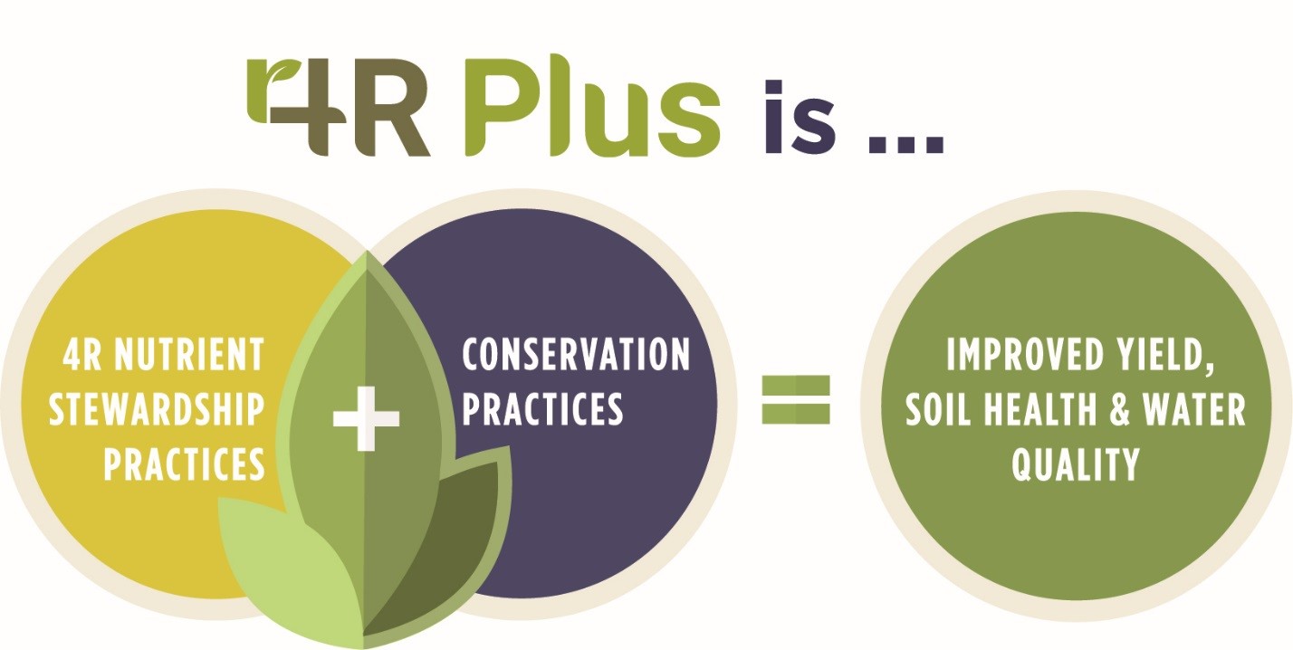
The 4R Plus program is a science-based framework designed to increase awareness and provide information about 4R nutrient stewardship and conservation practices to crop advisers and farmers.  These 4R Plus practices can improve soil health, crop yields and water quality.

4r

4R Plus combines the 4Rs of nutrient stewardship – applying the right source of fertilizer at the right rate and right time and in the right place – with the “Plus” conservation practices like cover crops, no-till and edge of field practices like saturated buffers and bioreactors.  These combined practices are needed to achieve the nitrogen and phosphorus loss goals of the Iowa Nutrient Reduction Strategy.  This strategy calls for a 45% reduction in total nitrogen and phosphorus loads going into Iowa waters, with 41% and 29% reductions in nitrogen and phosphorus loads, respectively, from non-point sources, such as agricultural production.

The 4R Plus program began in 2016 by bringing diverse organizations together to create an outreach campaign to help inform Iowa farmers about the suite of conservation practices available to them.  To date, more than 40 organizations have enlisted their support of the Iowa 4R Plus program, including agri-businesses, commodity groups, trade associations, government agencies, conservation organizations, Iowa State University and Iowa Learning Farms.

To kick off the project, market research was conducted with Iowa farmers and Certified Crop Advisers (CCAs) to help understand what practices they were using, key messages that resonated with them, barriers that hindered them from trying new practices and what their plans were for adopting new practices in the future.  The results showed that messages that resonated the strongest with farmers centered on 1) the role of healthy soil in addressing more extreme precipitation patterns, and 2) the importance of passing the farm to the next generation in better shape than they received it.  The market research also verified the importance of CCAs as the trusted adviser to farmers.

With the market research results in hand, 4R Plus coalition members developed 4R Plus informational resources that they could leverage with their internal and external stakeholders, including CCAs and farmers.  The resources include a 4R Plus brochure, 4R Plus Fact Sheet, a website (4rplus.org/), 4R Plus Blogs, an adviser module and a Twitter account (@4RPlus).  Most recently, a series of five videos were released that describe Conservation Practices, the 4Rs of Nutrient Stewardship and the Iowa Nutrient Reduction Strategy.  In addition, the five videos were converted into courses for CCAs to take for Continuing Education Units (i.e. credits).  The CCA courses can be found at 4R Plus CCA Courses.

In addition to the 4R Plus resources mentioned above, the 4R Plus program has a communications and outreach component at the state level that includes radio, print and digital media.  In 2018, these media platforms are delivering 4R Plus messages to 85-90% of Iowa farmers.

The 4R Plus program is an exciting new effort to bring information about nutrient management and conservation practices to the Iowa farming community in a straight-forward and factual way.  The partners are committed to helping farmers implement practices that fit their unique individual operations and provide economic, agronomic, environmental and societal benefits on their farm and to their downstream neighbors.

If you are interested in learning more about 4R Plus or want to join the coalition of more than 40 agricultural and conservation organizations that support 4R Plus, please contact me at gregory.wandrey@tnc.org.


gregGreg is a native Iowan who grew up on a crop and livestock near Dyersville, Iowa.  He received his B.S. and M.S. degrees in agronomy from Iowa State University and Ph.D. in agronomy and plant genetics from the University of Minnesota.  Greg joined the Iowa chapter of The Nature Conservancy in 2016 to lead the Iowa 4R Plus program.
Forming Successful Partnerships: Connecting Water Quality and Communities for the Benefit of All

DSCN1413
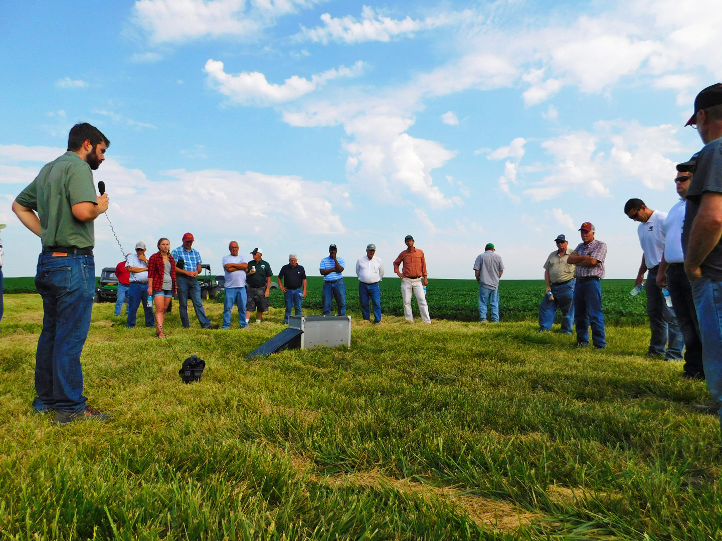
Workshop attendees gather around a bioreactor at an edge of field event in the Miller Creek Watershed.

Post submitted by Josh Balk, Dry Run Creek Watershed Improvement Project Coordinator, and Shane Wulf, Miller Creek Water Quality Improvement Project Coordinator. 

In an ever-changing environmental landscape with increasing demands, tighter budgets, and a sense of uncertainty, partnerships are essential to provide resiliency for any water quality effort.  Whether a watershed project, a community organization, or just an enthusiastic individual, creating collaborative initiatives can provide support to help weather any storm.  Although requiring an initial investment on the front end to get set up, the long-term benefits of having partners to rely on and bring resources to the table should be justifiable.  Identifying partners is indeed the first task, which can be daunting in itself.  Every community is different and being able to recognize the local resources available is a skill.  Once identified, nurturing these relationships to continue being successful is even more important.  Ensuring that there is some form of mutually beneficial exchange will help all parties feel active, engaged, and remain involved.  Whether it’s looking for matching funds, education and outreach, volunteers, or expanding support, partnerships can add a lot of value in to initiatives.  Getting creative with partnered projects can help to hit untapped audiences and help an initiative stand out in the crowd.

DSC02406
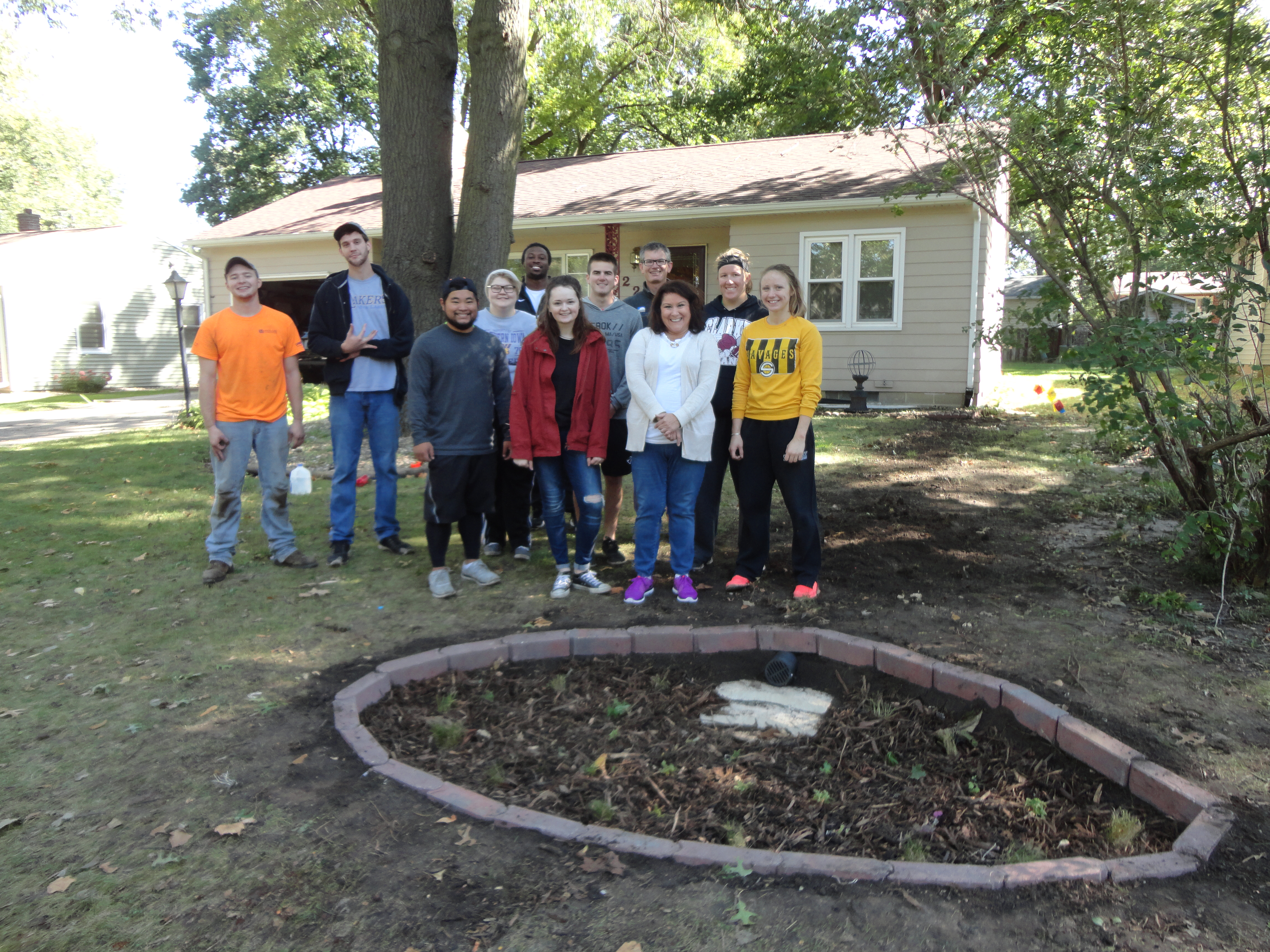
University of Northern Iowa students volunteering to install a residential rain garden in the Dry Run Creek Watershed.

The Black Hawk Soil and Water Conservation District has two watershed projects coming at water quality improvement efforts from different angles.  This has included recognizing the local concerns and utilizing the resources available to each of their benefit.  The Miller Creek Water Quality Improvement Project has formed many successful partnerships working with regional, state, and federal agencies as well as commodity groups. Two prime examples include the Middle Cedar Partnership and Midwest Agriculture Water Quality Partnership RCPP projects.  These projects include several partners spanning from the City of Cedar Rapids, the Sand County Foundation, the Iowa Department of Agriculture, and many others.  Together, these projects provide federal funding for conservation efforts in addition to Miller Creek WQI practice dollars.  In 2017, the Miller Creek Project experienced high cost-share demand resulting in a $27,000 practice deficit.  In response to this demand, Black Hawk SWCD and Iowa Agriculture Water Alliance (IAWA) formed the Miller Creek Challenge.  Providing a $13,500 grant, IAWA challenged the Black Hawk SWCD to raise the remaining funds.  With anticipation of a repeat experience, the Black Hawk SWCD increased their goal to raising $100,000 and are currently fundraising with private citizens, businesses and many organizations.  These efforts have helped Miller Creek to bring in many additional funds to help improve water quality.

On the other end of the spectrum, the Dry Run Creek watershed is about 44% urban with a large residential population of Cedar Falls having a direct impact on the stream.  The Dry Run Creek Watershed Improvement Project has focused a large effort towards partnerships involving the local educational systems to find enthusiastic volunteers passionate about water quality.  This has involved students in kindergartners all the way up to seniors in college.  Efforts have included rain garden installations, conservation book publishing, stream assessments, water monitoring efforts, outreach events, and educational materials just to name a few.  These have all helped Dry Run Creek to succeed in its goals while also drumming up community awareness and support, two essential features for any watershed project.

Given the theme for this year’s Water Conference, ‘Our Watershed, Our Community’, the goal of this presentation will provide valuable insight in to the connection between the two.   We are very excited for this opportunity to share our successes so that others may expand upon their networks for the benefit of water quality in Iowa.

Josh Balk has been the Dry Run Creek Watershed Improvement Project Coordinator for three years. He received his B.A. in Earth Science from the University of Northern Iowa.

Shane Wulf has been the Miller Creek Water Quality Improvement Project Coordinator for 4 years. He received his B.S. in Geography with a Geology Emphasis from the University of Wisconsin-Whitewater.

Project AWARE 2017

Capture
 Photo of Cedar River Coalition partners. Photo from @IWAReduceFloods, the Twitter account for the Iowa Watershed Approach.

Getting Down and Dirty for Cleaner Iowa Rivers

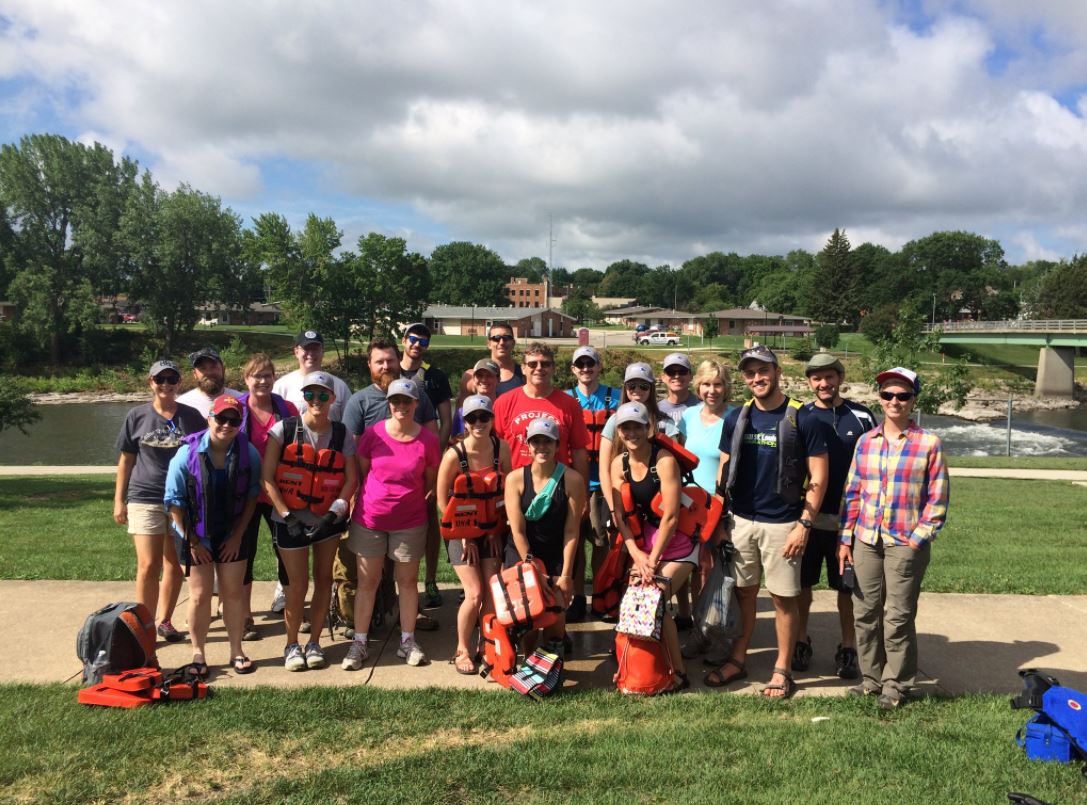
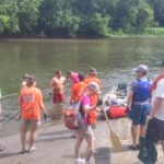
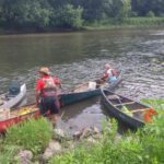
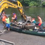
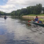
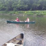
Last week we participated in cleaning up an Iowa river alongside the Iowa Department of Natural Resources and other water partners across the state for Project AWARE. This event is a week-long outdoor expedition to clean up a selected Iowa river. The purpose of this event is to increase awareness of and engagement with Iowa’s public waters. It gives Iowans the opportunity to make a difference in water no matter who they are and what they do in the state. Participants have the opportunity to do the cleanup for one day or stay and camp the whole week.

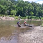
This year, the event was held on the Cedar River in Mitchell and Floyd Counties from July 10-14. Hundreds of water partners and community members across the state joined for this year’s cleanup. We attended the fourth day of the event. Our starting point was about 19 miles up river from Charles City, Iowa. Once we arrived in Charles City, we had the opportunity to go inner tubing down the Charles City Whitewater course to the campsite to receive a t-shirt and join in on evening fun at the site.

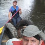
While we only attended one day of the trip, we found many canoe-loads of trash that does not belong in a river, such as barrels, tires, and even a couch!

See photos below for the highlights!

View from my Windshield: Observations of soil erosion across Iowa

For the past couple of weeks, I have been on the road across Iowa. These trips vary in their purpose, but one thing that remains the same is the evident erosion in the fields along my travels. Regardless of where I am – whether it is in the Loess Hills visiting family or in the Des Moines Lobe for a meeting – spring rains have revealed that there are deep cuts in the bare brown soils where lush, even soils used to be.

Continue reading

Planning for Watershed Success in Eastern Iowa

11108858_986702184682588_7720700685004655431_n
Attendees of the Indian Creek Watershed open house discussing the map of the watershed. Photo from the Indian Creek Watershed Facebook page.

Post edited by Hanna Bates, Program Assistant at the Iowa Water Center

This week, we chatted with Jennifer Fencl, the Solid Waste & Environmental Services Director at The East Central Iowa Council of Governments (ECICOG). Fencl works to bring eastern Iowa stakeholders together to better manage their natural resources and to create a long-term investment in their community. Below are a few highlights from our conversation that outlines some of the behind-the-scenes work in watershed planning.

Please describe your work in watershed management in Iowa.

The East Central Iowa Council of Governments (ECICOG) became involved in watershed management in 2011 when the City of Marion requested assistance in applying for Watershed Management Authority Formation grant funding from the Iowa Economic Development Authority (IEDA) for the Indian Creek watershed. The Indian Creek Watershed Management Authority (ICWMA) was formed under Iowa Code 28E and 466B in August 2012 with 6 of the 7 eligible jurisdictions agreeing to plan for improvements on a watershed level. Funds were made available in 2013 by the IEDA to complete watershed management plans to address flood risk mitigation and water quality. The ICWMA received one of the three planning grants and engaged in a multi-jurisdictional planning approach facilitated by ECICOG in partnership with several local, state, and federal agencies. The resulting Indian Creek Watershed Management Plan (ICWM Plan) identifies strategies and recommendations for stormwater management and water quality protection, including specific implementation activities and milestones. The ICWM Plan was completed and presented to the public in June 2015 and adopted by all six of the ICWMA members at policy maker meetings during July and August of 2015.

As the ICWMA Plan was wrapping up, the City of Coralville requested ECICOG’s assistance in forming a WMA for the Clear Creek watershed. In this case, Coralville was willing to sponsor the WMA formation and planning grant application services. The Clear Creek Watershed Coalition (CCWC) formed as a WMA under Iowa Code 28E and 466B in October 2015 with all 9 of the eligible jurisdictions joining. ECICOG secured DNR watershed planning funds early in 2016 and the CCWC is mid-way through their planning process. Fortunately, the Clear Creek watershed was one of the eight watersheds selected for the Iowa Watershed Approach HUD grant project. The additional watershed planning funds from the HUD grant will add significantly to the resulting watershed plan.

In early 2016, the Middle Cedar Watershed Management Authority (MCWMA) was on its way to formally becoming a WMA and needed some help in completing the agreement filing, developing by-laws, and organizing the Board of Directors. ECICOG assisted the MCWMA in forming under Iowa Code 28E and 466B in June 2016 with 25 of the 65 eligible jurisdictions joining. The MCWMA is one of the eight watersheds selected for the Iowa Watershed Approach HUD grant project.

What are the challenges and rewards in doing work with watershed management?

One challenge that became clear in the Indian Creek process was the disconnect between the watershed (technical) assessment and the local stakeholders. That gap must be bridged to develop meaningful, locally-based goals and implementation strategies.  For me, the reward is watching the interaction between perceived “enemies” (urban/rural; big city/suburb; ag producer/government type) and bringing skeptical people into the process to develop an actual plan… that they ultimately agree to.

What kinds of stakeholders are involved in developing a watershed management plan?

It is critical to include the local Soil and Water Conservation District, government representatives, and the landowners (both urban & rural, flood impacted if possible) in developing goals and strategies. I believe that it is also important to identify the ‘experts’ in your watershed, both locally and from state agencies, early on and have them provide input on what assessment activities and planning services are really needed from an outside consultant. There is a role for everyone to play.

What are the basic steps in putting together a watershed management plan?

Here is my road map:

  1. Invite participation
  2. Identify resource concerns
  3. Assemble experts
  4. Complete assessment work
  5. Present the assessment to a broad list of stakeholders (need good interpreters)
  6. Develop goals, define implementation strategies, and prioritize the strategies
  7. Compile the plan and present the plan for comment
  8. Shop the plan for formal adoption by policy making board/councils.

What is one piece of advice you’d give to those wanting to develop a watershed plan for their community?

Run… kidding, sorta.  Seek help from the Iowa Department of Natural Resources and Iowa Department of Agriculture and Land Stewardship basin coordinators first, and then gauge the interest of the other entities in the watershed. You need to find some champions to help smooth the way for local elected officials.

Get to know Alert Iowa

Alert Iowa is a statewide mass notification and emergency messaging system. The system can be used by state and local authorities to quickly disseminate emergency information to residents in counties that utilize the system. The system is available, free of charge, to all counties. Eighty-four of Iowa’s 99 counties are using the Alert Iowa system.

Continue reading